
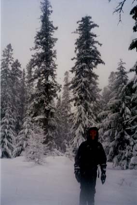
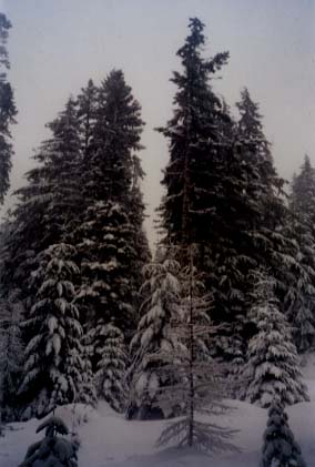
North Fork Mill Creek
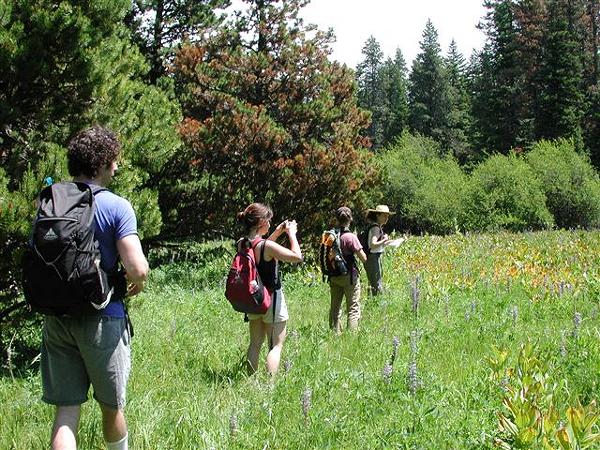
The North Fork Mill Creek proposal has been part of an evolving effort by the Forest Service to thin the Dalles Watershed and surrounding forests. Bark was part of the collaborative group that submitted recommendations in March 2006, which were considered by the Forest Service in the planning of the project. This project overlaps with the proposed Gibson Prairie Off-Highway Vehicle playground area.
General Info
- District: Hood River
- Total Acres: 2900
- Watershed: Mill CreekMain Stem Hood River
- Sub-Watersheds: Mosier CreekNeal Creek
- Basic Location: North of The Dalles Watershed, east of Road 17 and the Surveyor 's Rdige trail, out to the eastern and northern forest boundaries
- Driving Directions: Take I-84 East out of Portland - Exit at exit #64 Highway 35, White Salmon and Gov 't Camp - Turn Right, twice, off the exit, following signs for Hwy. 35 South, Gov 't Camp and Mt. Hood - In 0.1 mile, go straight through the 4-way stop, still following Hwy. 35 South - Follow Hwy 35 for 10 miles (note that at 9 miles is a scenic viewpoint turnout on the right (west) side of the road, which makes a good regrouping spot) - at the top of the hill, look for Pine Mont Rd " on the left (east) - Pine Mountain Road is Forest Road 17 (1700) - The Long Prairie junctions of roads 1700, 1710, and 1711 are about 8 miles up road 17 at which point you are in the sale area."
- Legal Description: T1S R10E sect. 1, 2, 11-14, 23 T1S R11E sect. 4-8, 18
- Northwest Forest Plan Classification: MatrixRiparian
- LMRP (Forest Plan) Land Management Classification: A7B2B10C1
Timber Sales
- Mill Creek (2900 Acres)
Status: Scoping
Prescriptions
- Total Commercial Thin Acres: 2201
- "Purpose & Need:" From the scoping letter ...'proposes to treat approximately 2 900 acres. the purpose of all the activities is to reduce hazardous fuels (removal of surface fuels, ladder fuels, and opening of the canopy) and improve forest health conditions (removing root rot pockets, removing diseased trees, thinning overstocked stands) '
- Bark's Comments: The Proposed Action states these treatments Restoration Thin - 2131 acresSapling Thin - 26 acresAspen Cottonwood Enhancement - 45 acresUnderburn - 684 acres
Roads
- Road Comments: The current proposal includes 12 culvert replacements
- Closure Miles: 16.5
- Seasonal Close Miles 7.64
- Obliteration Miles: 8.78
Updated 5/7/09