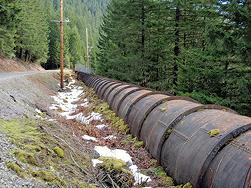
Hike the Pipe Update: Day 1-4
Despite rain and low snow, hikers are on schedule after successfully crossing the Clackamas River: their photos from the trail tell all...
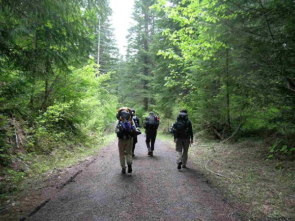
Hiking on a road is easy, the next 40 miles is when the fun starts.
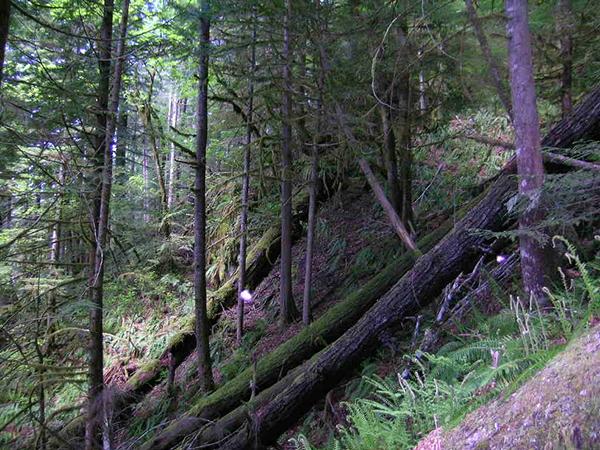
Day 1, Memaloose Lake: Steep, unstable slopes is a defining feature of the Cascade Mountain Range. Clearcutting these slopes results in erosion, landslides, and watershed damage.
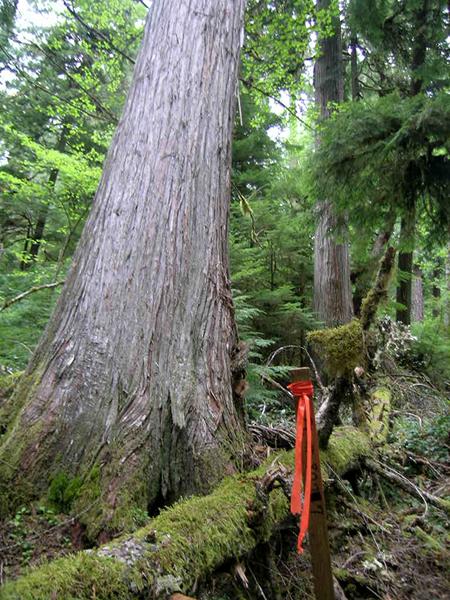
Day 2, Fish Creek (tributary to the Clackamas River): It didn't take long for hikers to discover that the Palomar Pipeline will destroy old-growth forests.
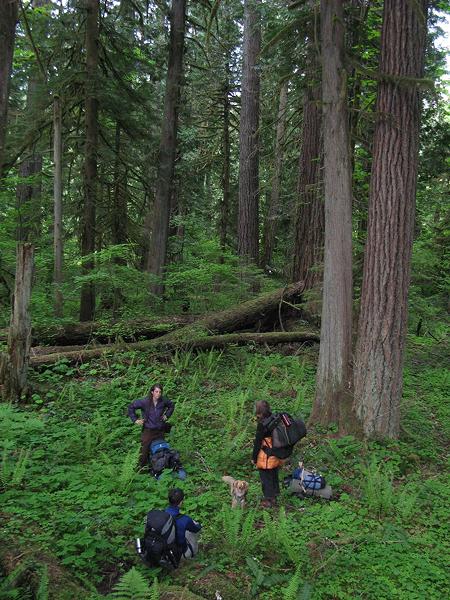
Day 2, Fish Creek (tributary to the Clackamas River): Sometimes the route is not clearly flagged. Hikers take a much needed respite as they re-orient themselves to the route. Photo by Scott Coffey.
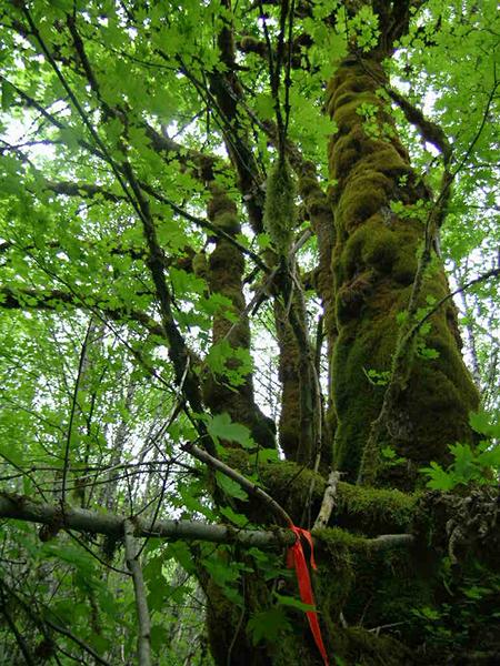
Day 2, Fish Creek (a tributary to the Clackamas River): Old-growth hardwood trees, like this big leaf maple, are also on the chopping block.
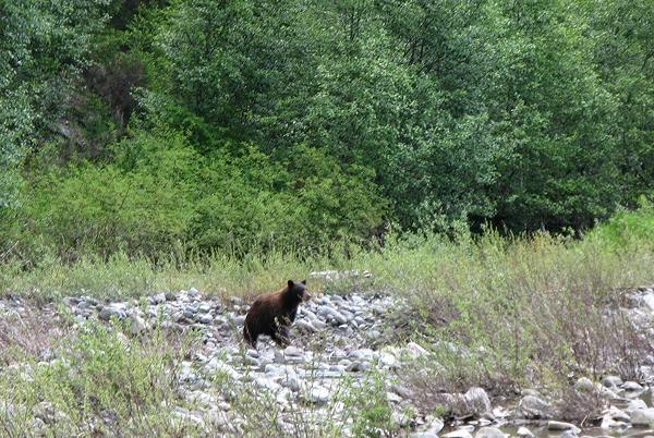
Day 3, Clackamas River Crossing: This black bear was spotted on the banks of the river, in the 100ft-wide clearcut corridor proposed for the Palomar Pipeline route. Photo by Blair Mastbaum.
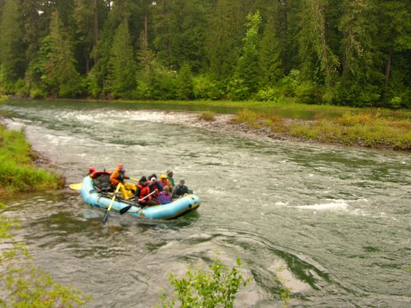
Day 3, Clackamas River Crossing: The pipeline is proposed to cross the Wild and Scenic Clackamas River at this location. The proposal is to do a "wet crossing," which means that heavy equipment will dig through the river while it is flowing.
Scroll down for video footage from KOIN news on the Clackamas River Crossing http://www.koin.com/content/mediacenter/default.aspx?videoId=7729.
More about Palomar LNG Pipeline...


