
The Dalles Watershed Phase II
Adobe Acrobat File (PDF), 1223 Kb
10/13/05
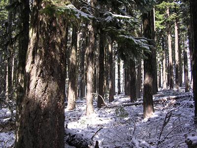
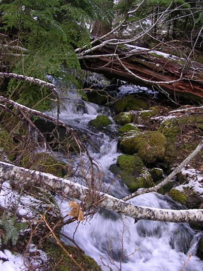
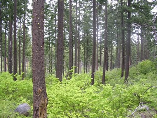
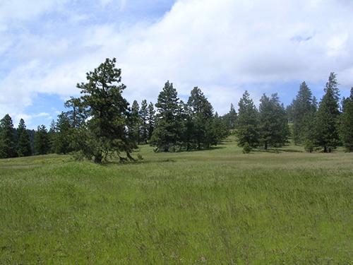
The Forest Service proposed The Dalles Watershed Phase II project to reduce hazardous fuels and restore hydrologic conditions on 3600 acres within the interior of The Dalles Municipal Watershed .'The Forest Service asserts that this project is needed to protect the drinking watershed of The Dalles from a catastrophic wildfire that may impact future water quality. To that end the project logs 1,352 acres of natural forest and 107 acres of plantation and applies mechanical fuels reduction and/or prescribed burning to 2,300 additional acres. This project is the second phase of a landscape management project that was informed by a collaborative group in which Bark took part but did not always agree with. The area to be logged and burned is not open to the public similar to the Bull Run watershed it has very limited access so Bark cannot get out on the ground in the project area.'
General Info
- District: Barlow
- Total Acres: 3600
- Watershed: South Fork Mill Creek
- Sub-Watersheds: S. Fork Mill CreekN. Fork Mill Creek
- Basic Location: The project takes place throughout the Dalles Watershed Management Unit, east of Highway 35.
- Driving Directions: From Portland take I-84 East to Hood River, exit for Hwy 35 South. Follow Hwy 35 South approximately 26 miles to the junction with Hwy 44 East. In approximately 4 miles you will enter The Dalles Watershed. It is closed to human entry but you can drive the boundary.
Prescriptions
- Total Commercial Thin Acres: 1459
- "Purpose & Need:" Reduce risk of catastrohpic wildfire in The Dalles drinking watershed.
Updated 3/31/11